Welcome to GeoAI, a powerful tool for viewing geospatial imagery. GeoAI is designed to provide state-of-the-art solutions for analyzing satellite imagery, remote sensing, and geographic data. With a range of features and capabilities, it empowers users to gain insights and make informed decisions based on geospatial information.
To get started with GeoAI, follow these steps:
Follow these installation steps to set up GeoAI:
- Clone the GeoAI repository to your local machine:
git clone https://github.com/sarahishamsaied/geoAI
cd geoai
 npm i
 npm start
- Our feature provides users with the flexibility to visualize Earth's landscapes with custom band IDs, including NIR, R, G, B, SWIR, and SWIR2. This customization enhances the ability to extract valuable insights and perform specific analyses tailored to individual needs.
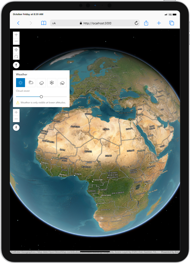
Explore geospatial data in stunning 3D landscapes with our interactive feature. Delve into dynamic cityscapes, natural environments, and architectural structures to uncover new perspectives and insights.
Exports Maps in multiple image formats.

Views the sattellite imagery with the custom bandwidths, which can be: NIR, R, G, B, SWIR, and SWIR2.


.png)
.png)