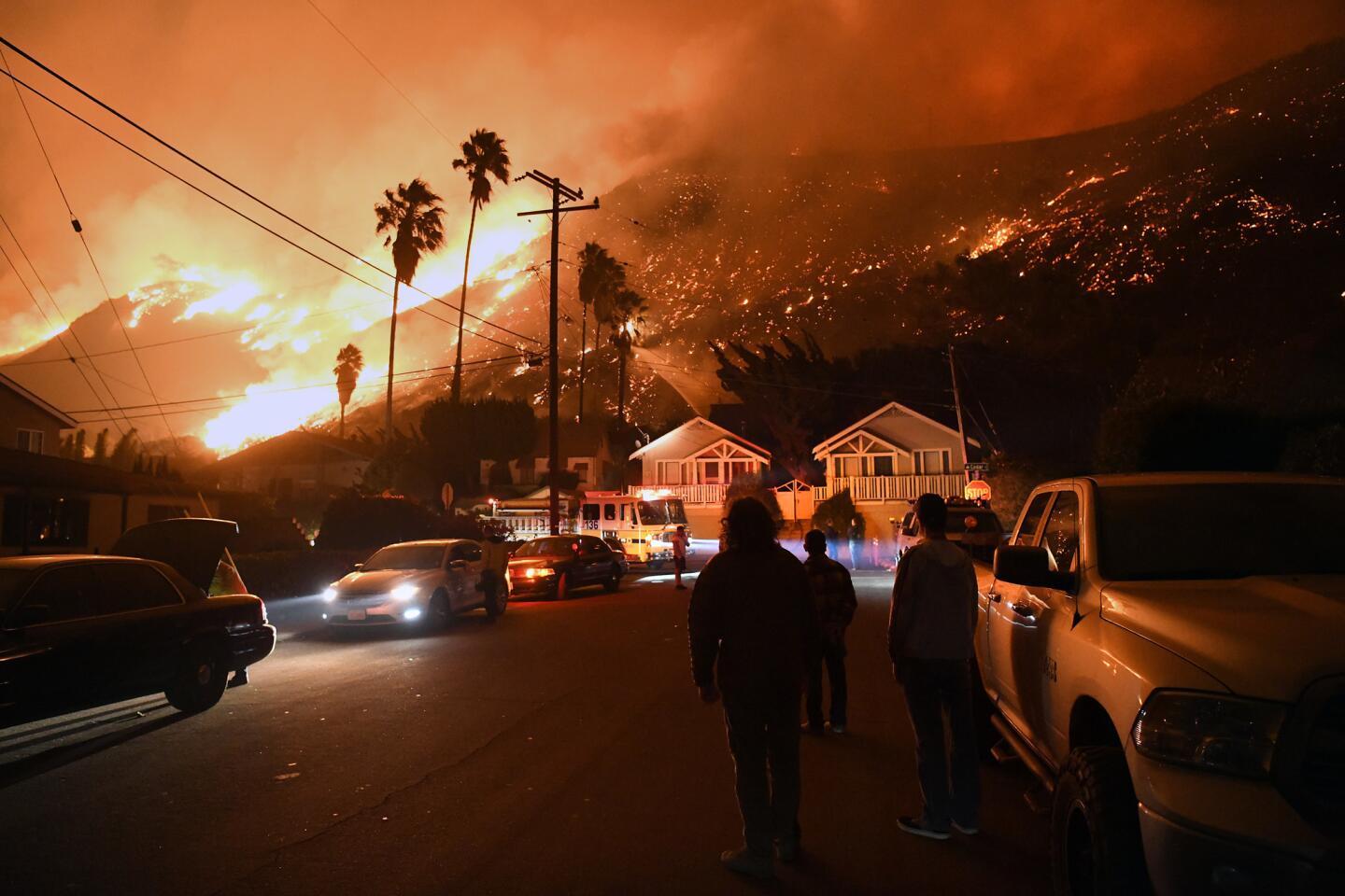
This repository explores the effects of the 2017 Thomas Fire in California by using open access AQI data, Landsat data and fire perimeter geospatial data. The Thomas Fire, which burned over 280,000 acres in Ventura and Santa Barbara counties in December 2017, was one of California’s largest wildfires at the time. It caused widespread ecological damage, displaced communities, and left lasting environmental impacts. This repository houses a Jupyter Notebook (thomas-aqi.ipynb) examining the change in air quality before and after the fire. The next notebook (false-color-image.ipynb) visualizes a false color image of the Thomas Fire in combination with the fire's boundary. The last notebook (complete-thomas-fire-analysis.ipynb) synthesizes both of these analyses together into one streamlined workflow.
File map
├── data
│   ├── thomas_boundary.geojson               # fire perimeter data
│   └── landsat8-2018-01-26-sb-simplified.nc  # landsat data
├── .gitignore
├── README.md
├── complete-thomas-fire-analysis.ipynb      # complete analysis for blog post
├── false-color-imagery.ipynb                # false color analysis
├── mendocino-rbr-lulc.ipynb                 # Mendocino Complex Fire analysis
└── thomas-aqi.ipynb                         # aqi analysis
Data in this project were pulled from
- Air Quality Index (AQI): US Environmental Protection Agency
- Landsat: Microsof Planetary Computer data catalogue
- Fire Perimeter: CalFire
The data necessary for this project can be found under the data folder located in the repository.
AQI data:
- US Environmental Protection Agency. Air Quality System Data Mart AirNow available via https://www.epa.gov/outdoor-air-quality-data. Accessed October 17 2024.
Landsat data:
- Earth Resources Observation and Science (EROS) Center. (2020). Landsat 4-5 Thematic Mapper Level-2, Collection 2 [dataset]. U.S. Geological Survey. https://doi.org/10.5066/P9IAXOVV
- Earth Resources Observation and Science (EROS) Center. (2020). Landsat 7 Enhanced Thematic Mapper Plus Level-2, Collection 2 [dataset]. U.S. Geological Survey. https://doi.org/10.5066/P9C7I13B
- Earth Resources Observation and Science (EROS) Center. (2020). Landsat 8-9 Operational Land Imager / Thermal Infrared Sensor Level-2, Collection 2 [dataset]. U.S. Geological Survey. https://doi.org/10.5066/P9OGBGM6
Fire Perimeter data:
- California Department of Forestry and Fire Protection (CAL FIRE), [calfire_all.gdb], [2024-11-17], retrieved from CAL FIRE data portal.
All materials were created by Carmen Galaz-Garcia for EDS-220: Working with Environmental Data.