You signed in with another tab or window. Reload to refresh your session.You signed out in another tab or window. Reload to refresh your session.You switched accounts on another tab or window. Reload to refresh your session.Dismiss alert
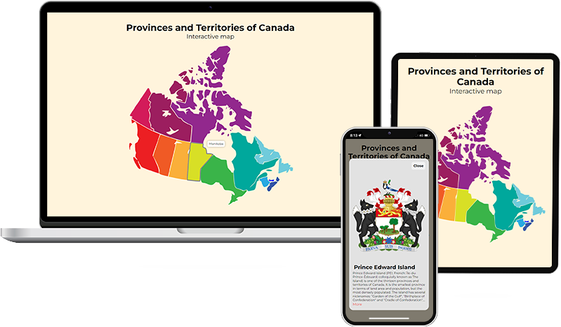
The interactive map of Canadian provinces and territories uses the svg picture as a backing and interacts with the MediaWiki API to load text and pictures. Fully adaptable and responsive for all browsers, devices and OS.
🔧 Used Technologies & Tools
About
The interactive map of Canadian provinces and territories uses the svg picture as a backing and interacts with the MediaWiki API to load text and pictures. Fully adaptable and responsive for all browsers, devices and OS.